Impact of Inaccurate Drone Data on Mine Planning
Drone surveying in mines and quarries is about far more than just capturing cool aerial photos. These flights are the engine behind your blast design, stockpile valuation, and safety planning. When the data is off by even a fraction, your entire mine plan can start to drift.
Small mistakes in the field, like flying too high, having poor photo overlap, or fighting glare off a wet bench, can quickly snowball. On your screen, the 3D model might look perfectly fine, but the underlying numbers will generate incorrect volumes, misaligned benches, and haul roads that simply do not match reality. Many sites have learned this the hard way: a survey misses a corner of the pit, volumes get signed off, and the production team spends weeks chasing "missing" tons that never existed.
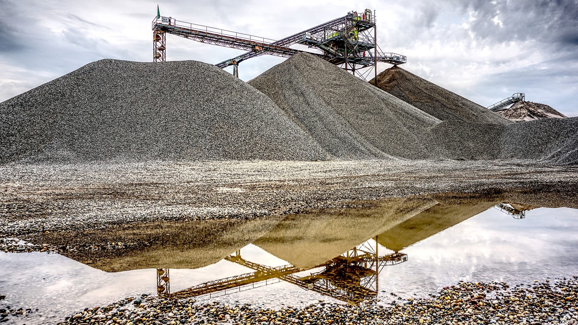
Mastering the Flight and the Ground
High-quality mine data starts long before the drone takes off. Flight planning mistakes are easy to make, but incredibly painful if ignored. Flying too high sacrifices detail, while flying too low creates massive files with no added value. Furthermore, as seasons change, you have to battle thermal turbulence, growing vegetation, and shifting lighting conditions.
But even the most perfectly executed flight cannot fix bad ground control. Ground Control Points (GCPs) anchor your reality.
- Do not cluster GCPs in easy-to-reach spots; spread them out across the pit and at varying elevations.
- Keep them away from massive highwalls where GNSS signals bounce and drift.
- Always capture separate check points to test the final model, rather than just using them to build it.
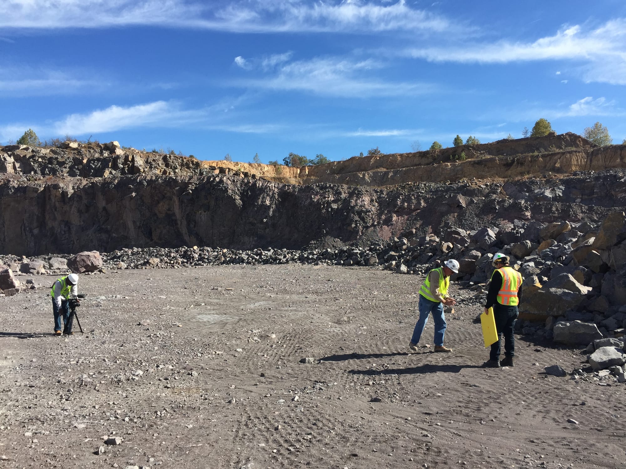
Don't Let Rushed Flights Ruin Your Planning
When production is pushing hard, it is tempting to squeeze in a quick drone flight "between trucks". This is exactly where safety and data quality begin to slide. Rushed flights lead to cut corners, poor coverage around tight benches, and a lack of proper airspace checks.
Even worse, this often pairs with loose data governance, where files are dumped into random folders and unvalidated test surfaces are accidentally used for engineering designs.
To turn aerial data into actionable, trustworthy models, sites need to embrace strong QA/QC. Spot check your model elevations against known survey pegs, verify stockpile volumes against truck counts, and ensure successive surveys line up perfectly in inactive areas. By standardizing these steps, your team will reduce rework, stop chasing phantom volumes, and ensure your mine plan matches exactly what is in the ground.
Frequently Asked Questions
Q: Why does my 3D model look good on screen but give me the wrong volumes?
A: Small field mistakes like poor image overlap, bad lighting, or poorly placed ground control points can create thin point clouds. The software stitches it together to look like a solid surface, but the underlying geometry will generate incorrect volumes and soft bench edges.
Q: How does weather really impact a drone survey?
A: The camera only knows what it sees. Deep shadows from a low sun can hide bench toes, fog and dust soften edges, and snowmelt creates reflective puddles that confuse the 3D reconstruction software.
Q: What is the easiest way to QA/QC my drone data before using it?
A: Keep it simple: spot check the model's elevations against known physical survey pegs, compare your digital stockpile volumes against actual truck counts, and check that areas of the pit that haven't been mined perfectly align with your previous surveys.
Learn more about Best Practices for Drone Data Collection: https://youtu.be/iZh75FXZ_DQ?si=BMwiWLOMAYT75bKu
#MinePlanning #DroneSurveying #SurveyLife #MiningEngineering #StockpileManagement #QuarryOperations